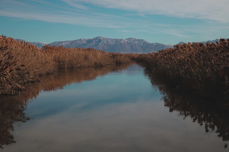
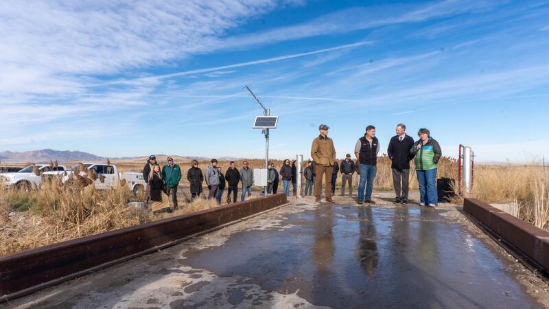
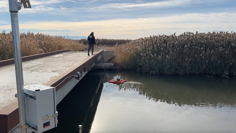
Salt Lake City — That pinch of natural salt on your Thanksgiving turkey might have started its journey in Utah’s Great Salt Lake, where scientists are launching a new project to better understand this crucial natural resource. Thanks to a new $3 million monitoring program announced by the U.S. Geological Survey, Bureau of Reclamation, the Utah Department of Natural Resources and the Office of the Great Salt Lake Commissioner, scientists will enhance their ability to measure water levels and study salt concentrations in this massive saline ecosystem that helps supply salt across America.

Why This Matters
The Great Salt Lake isn’t your average lake – it’s a natural powerhouse that shapes life in Utah in surprising ways. Generating $1.3 billion annually through mineral extraction and brine shrimp harvesting, the lake drives key industries while serving as a crucial stopover for millions of migratory birds. When winter storms pass over the lake, they pick up moisture and create what scientists call “lake effect snow,” delivering the light, fluffy powder that Utah’s ski resorts are known for.
But today, this vital resource faces a critical challenge. With water levels at historic lows threatening everything from air quality to winter storms, scientists and resource managers need better tools to track and understand these changes. “These improvements will significantly enhance our monitoring capabilities at Great Salt Lake,” said Dave O’Leary, USGS Utah Water Science Center director. “We’re installing technology that will help us better understand water movement in the lake system, adding to the important work already being done by resource managers.”

New Tech for a Historic Lake
The monitoring program includes several groundbreaking elements:
- 13 new streamgages that measure water flow in rivers and streams
- Two high-tech buoys that measure water temperature at different depths
- Advanced tools to predict salt levels
- An updated website, the Great Salt Lake Hydro Mapper, where anyone can track lake changes in real-time
Each piece of this monitoring network helps tell the lake’s story. The streamgages measure water flow 24 hours a day, helping scientists better estimate how much water enters the lake from rivers and streams. This is crucial because in recent years, less water has been making it to the lake, contributing to historic low water levels.
The high-tech buoys measure water temperature throughout the lake’s depths. This data is used in complex calculations to learn more about evaporation patterns, which improve understanding of how the lake loses water over time. This matters because the Great Salt Lake loses the vast majority of water through evaporation.
The new tools predict how salt concentrations might change throughout the lake. They help lake managers make informed decisions about the causeway berm that divides the lake’s north and south arms, allowing them to adjust water flow when needed to maintain optimal salt levels. Like a weather forecast for salt, these predictions help resource managers protect both the lake’s unique ecosystem and its economic value.

The Human Impact
These scientific improvements will give the 2.5 million residents of northern Utah’s Wasatch Front a clearer picture of how their neighboring lake is changing.
“This investment helps us better understand the lake -- which is crucial for our communities,” said Tim Davis, Deputy Great Salt Lake Commissioner. “Better data means better decisions about how we manage water in our growing state.”
Working Together for Solutions
The project brings together four agencies: the USGS, the Bureau of Reclamation, the Utah Department of Natural Resources and the Office of the Great Salt Lake Commissioner.
“This partnership shows what we can achieve when we combine federal and state resources to tackle environmental challenges,” said Rick Baxter, Provo Area Office Manager, Bureau of Reclamation. “The data we gather will help inform decisions about this crucial natural resource for future generations.”
What’s Next
Installation of the new monitoring equipment has already begun, with all systems expected to be operational by spring 2025.
The public can follow progress and view real-time data through the Great Salt Lake Hydro Mapper website.
